Rail-Trail Maps
Note: We have maps, but this is not currently a trail. Please respect the landowners and do not trespass.
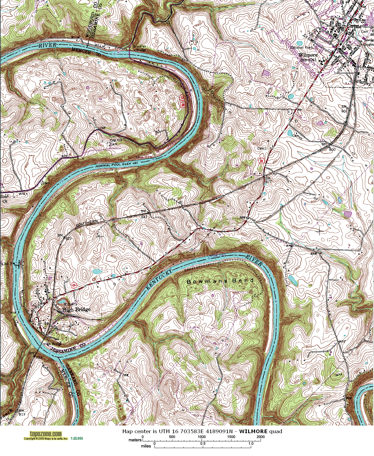
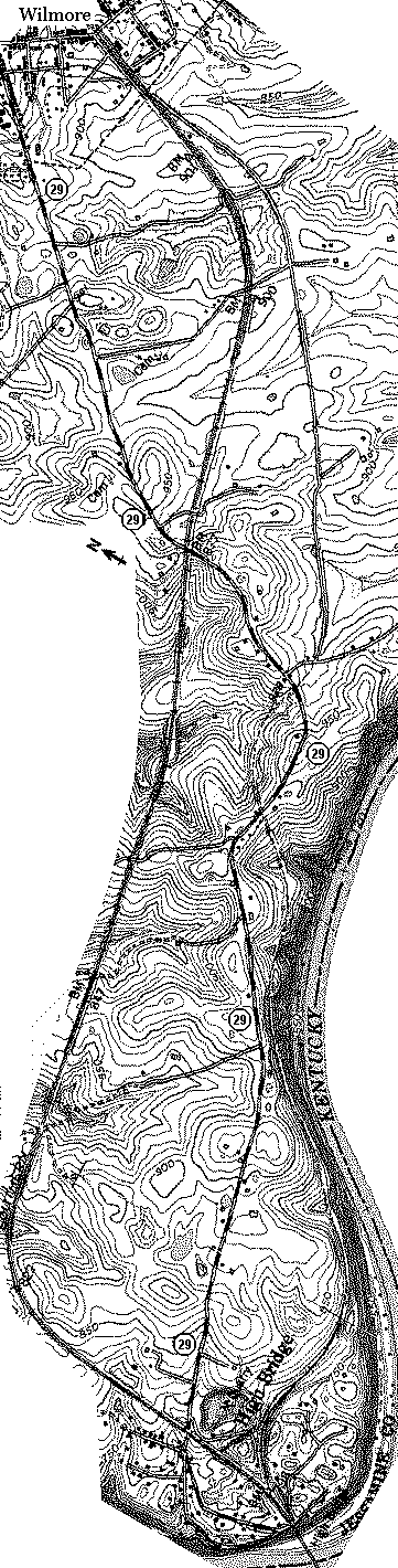
The most detailed and useful of the maps is probably the topographical map.
 |
|
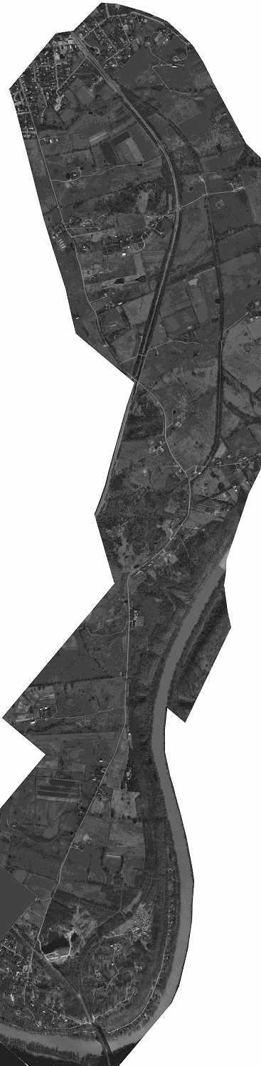
Aerial photos can also be very helpful in showing vegetation, buildings, and more clearly delinating property and natural boundaries.
 |
|
See Also
Photos along the proposed rail-trail:
Trail thoughts:
Rail-trail organizations: